Construction Site Aerial Photography
SkyCrew Pictures pilots are all FAA certified and have a lot of experience in working on construction sites We work with our construction clients to really understand their requirements and how they wish to use the aerial photography.
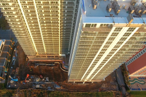
Starting with aerial photography to identify and define land to support panning applications.
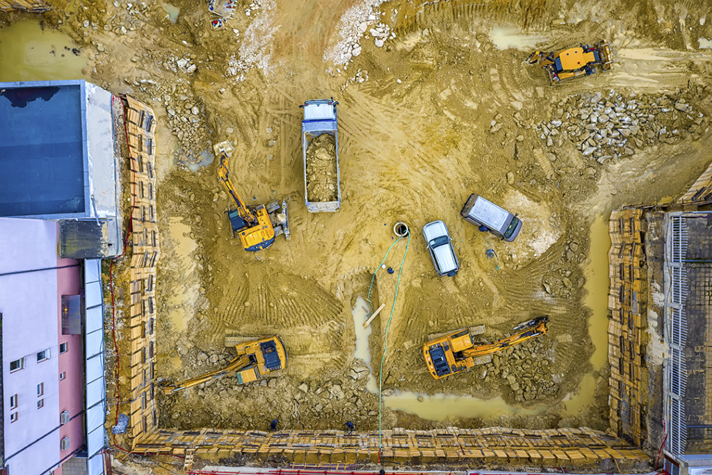
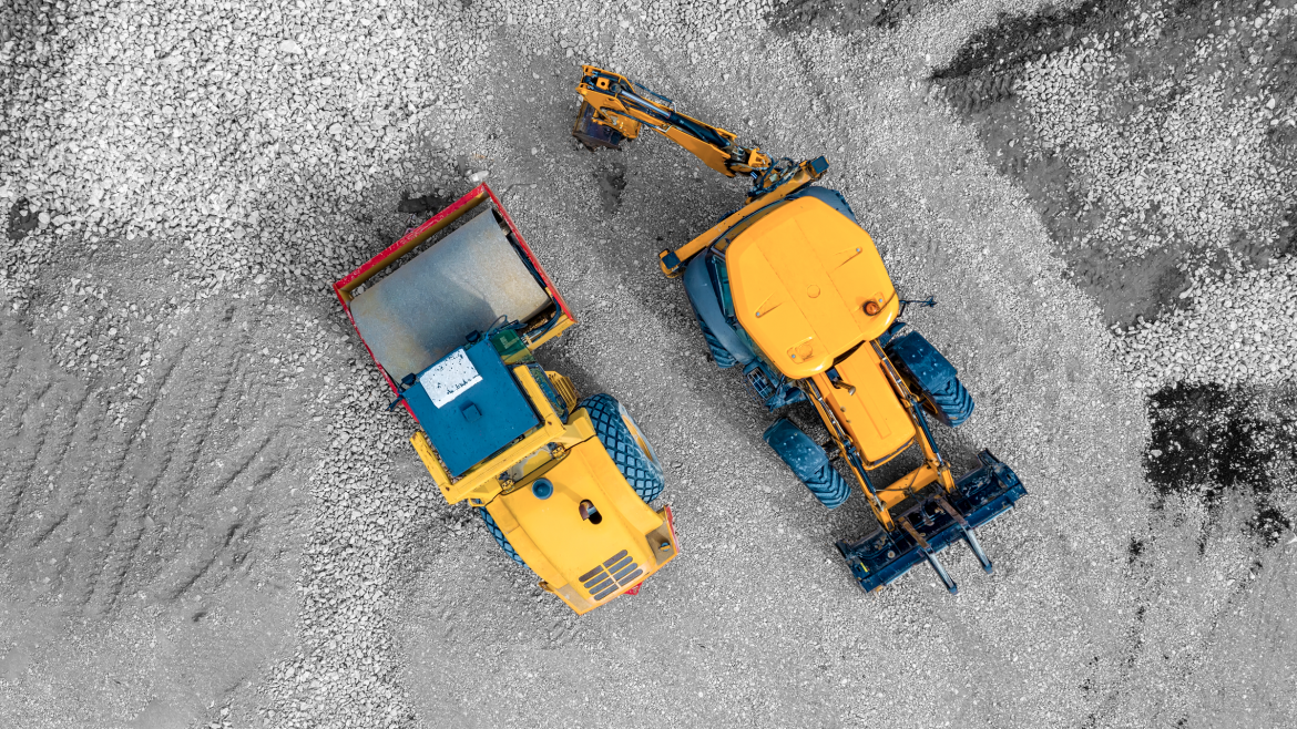
Flying drones (UAV’s) is a very cost effective way of recording progress and issues on a construction site, all the way through to the production of “as built” and hand over documentation.
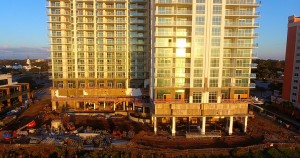
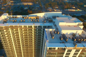
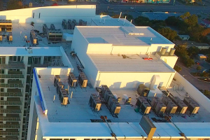
For example, post construction we have used Ultra-HD 4K video and still images to provide information and evidence relating to the release of contract retention money, without the need to erect expensive scaffolding.
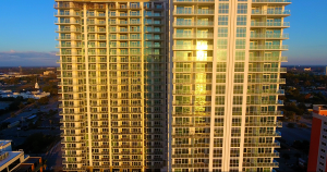
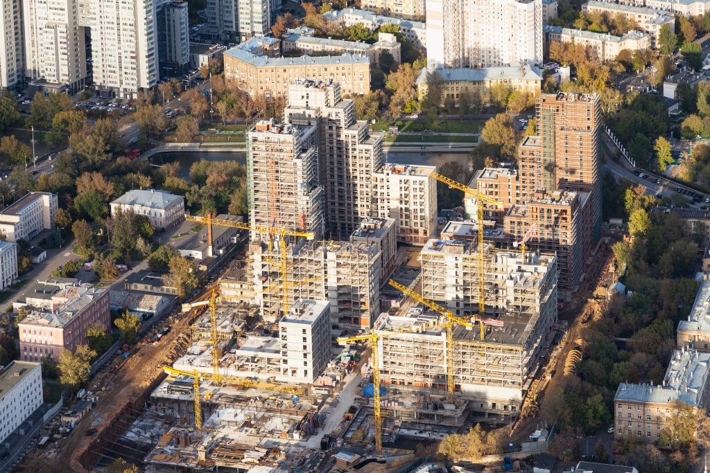
Construction site aerial photography is now being integrated into mainstream construction CAD software. Monthly progress photographs are being used to produce full 2D site images that can be used for accurate measurement and use in conjunction with traditional quantity surveying methods.
We see the applications where aerial photography drones (UAV’s) can be used cost effectively in the construction industry, growing enormously in the next years.