How Do Drones Work And What Is Drone Technology
What is a drone and how do drones work ?
UAV drone technology is constantly evolving as new innovation and big investment are bringing more advanced drones to the market every few months.
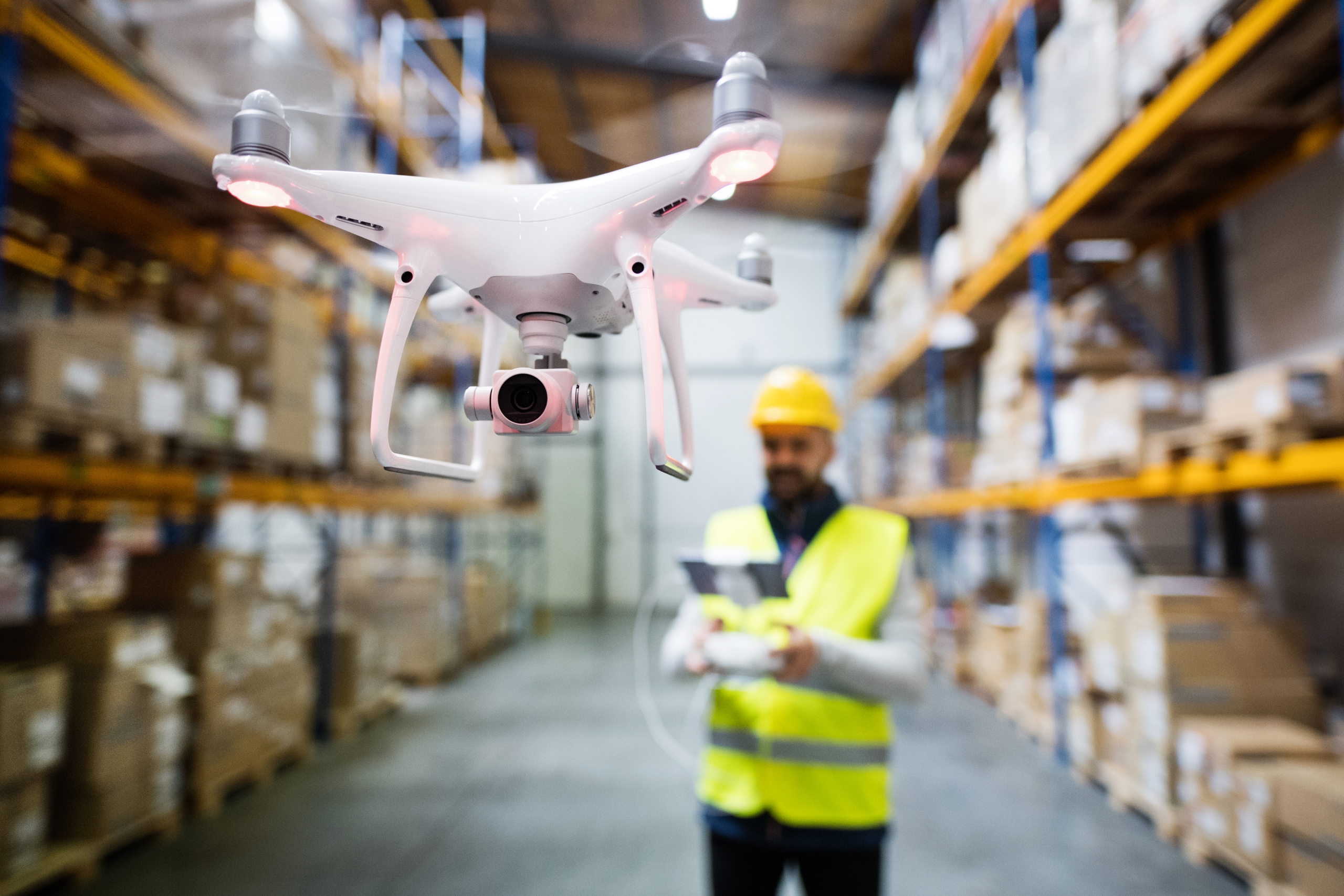
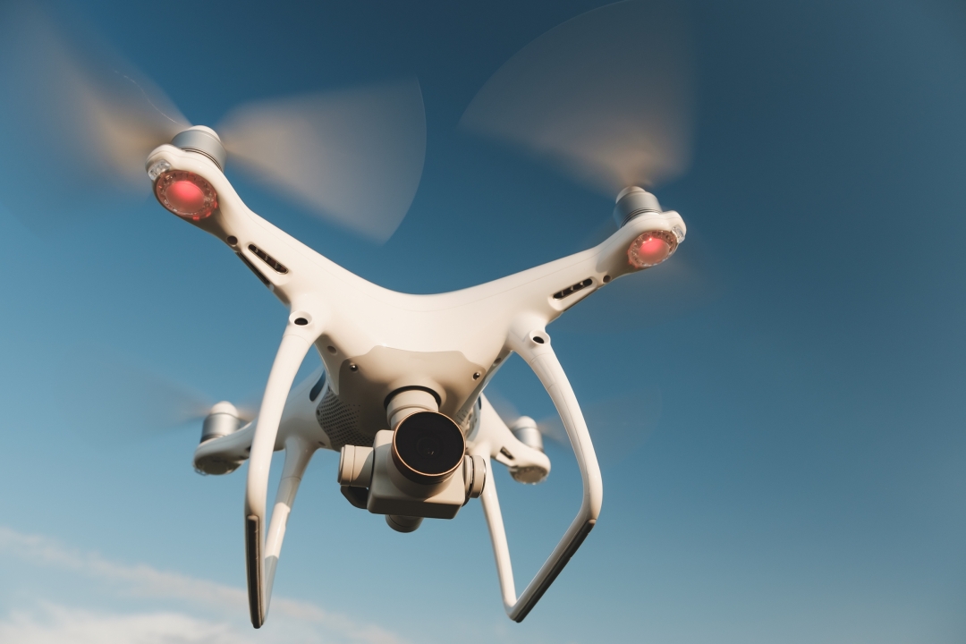
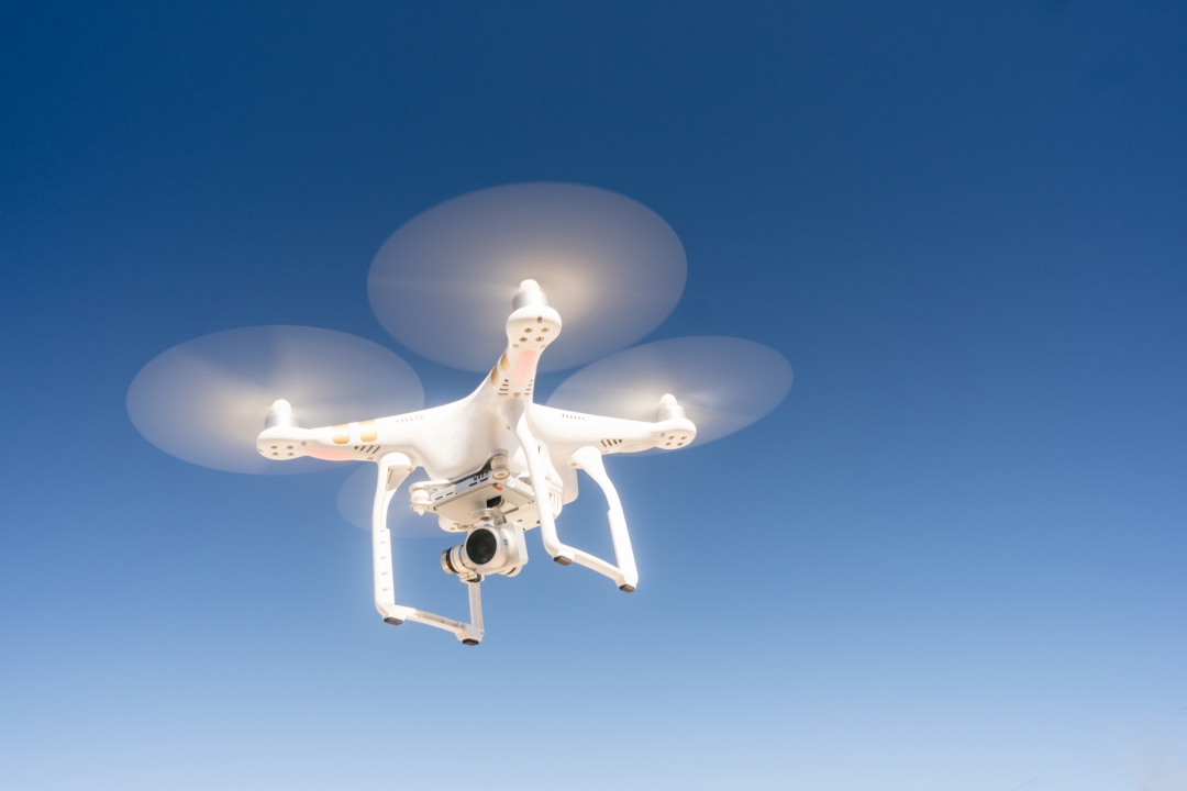
One of the most popular drones on the market is the DJI Phantom,Phantom 2,3,4 and 4 Pro, which have all the latest drone technology. These drones are very popular with professional aerial cinematographers. Most UAV drones will have very similar systems incorporated.
(UAV) Unmanned aerial vehicle technology covers everything from the aerodynamics of the drone, materials in the manufacture of the physical UAV, to the circuit boards, chipset and software, which are the brains of the drone.
This Phantom Drones are ideal to explain drone technology because they have everything in one package. It includes the UAV, gimbal and camera. They also have some of the top drone technology on the market today.
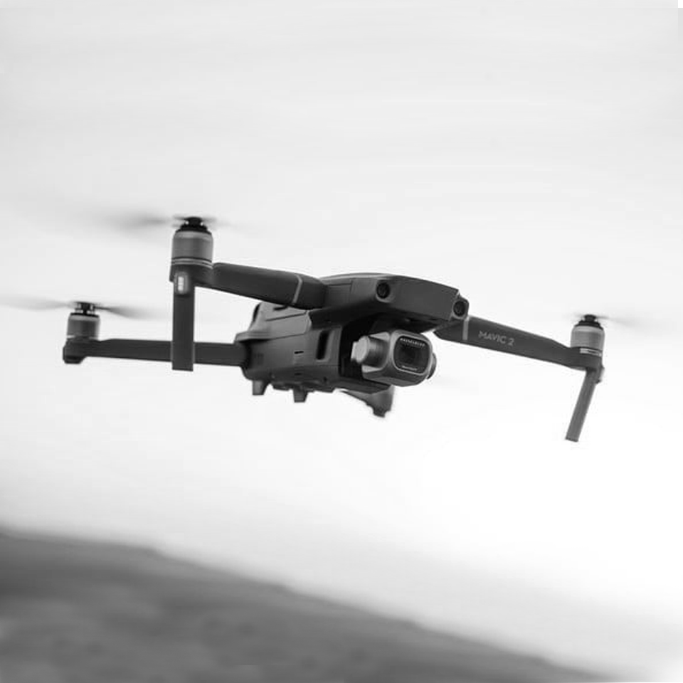
In the past few months, more new and highly advanced drones such as the DJI Mavic 2 Zoom, Mavic 2 Pro, Mini, Mavic Air 2, Phantom 4 Pro V2.0, Yuneec Typhoon H3 and Autel Evo 2 have come to the market.
How do drones work ?
A typical Drone (UAV) is made of light composite materials to reduce weight and increase maneuverability. This composite material strength allows military drones to cruise at extremely high altitudes.
UAV drones are equipped with different state of the art technology such as infrared cameras, GPS and laser (consumer, commercial and military UAV). Drones are controlled by remote ground control systems (GSC) and also referred to as a ground cockpit.
An unmanned aerial vehicle system has two parts, the drone itself and the control system.
The nose of the unmanned aerial vehicle is where all the sensors and navigational systems are present. The rest of the body is full of drone technology systems since there is no space required to accommodate humans.
What Is A Drone And UAV Technology
Drone Types And Sizes
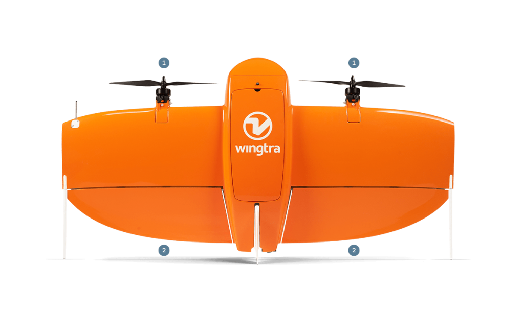
UAV drones come in a wide variety of sizes, with the largest being mostly used for military purposes such as the Predator drone. The next in size are unmanned aircraft, which have fixed wings and require short runways. These are generally used to cover large sections of land, working in areas such as geographical surveying or to combat wildlife poaching.
VTOL Drones
Next in size for drones are what is known as VTOL drones. These are generally quadcopters but not all. VTOL drones can take off, fly, hover and land vertically. The exact meaning of VTOL is “Vertical Take-Off and Landing”.
Quite a few of the latest small UAV drones such as the DJI Mavic Air 2 take VTOL to the next level and can be launched from the palm of your hand.
Radar Positioning & Return Home
The latest drones have dual Global Navigational Satellite Systems (GNSS) such as GPS and GLONASS.
Drones can fly in both GNSS and non satellite modes. For example, DJI drones can fly in P-Mode (GPS & GLONASS) or ATTI mode, which doesn’t use GPS.
Highly accurate drone navigation is very important when flying, especially in drone applications such as creating 3D maps, surveying landscape and SAR (Search & Rescue) missions.
When the quadcopter is first switched on, it searches and detects GNSS satellites. High end GNSS systems use Satellite Constellation technology. Basically, a satellite constellation is a group of satellites working together giving coordinated coverage and are synchronized, so that they overlap well in coverage. Pass or coverage is the period in which a satellite is visible above the local horizon.

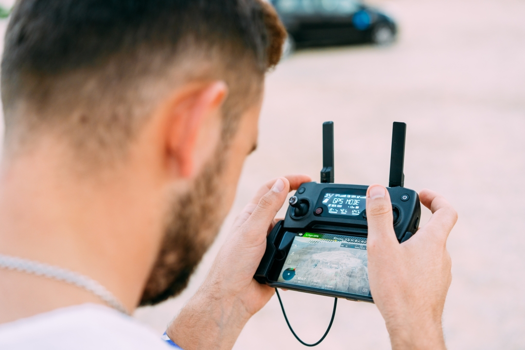
UAV Drone GNSS On Ground Station Remote Controller
The radar technology will signal the following on the remote controller display;
- Signal that enough drone GNSS satellites have been detected and the drone is ready to fly
- Display the current position and location of the drone in relation to the pilot
- Record the home point for ‘Return To Home’ safety feature
Most of the latest UAVs have 3 types of Return to Home drone technology as follows;
- Pilot initiated return to home by pressing button on Remote Controller or in an app
- A low battery level, where the UAV will fly automatically back to the home point
- Loss of contact between the UAV and Remote Controller, with the UAV flying back automatically to its home point
The latest Mavic Air 2 technology can sense obstacles during automatic return to home.
Obstacle Detection And Collision Avoidance Technology
The latest high tech drones are now equipped with collision avoidance systems. These use obstacle detection sensors to scan the surroundings, while software algorithms and SLAM technology produce the images into 3D maps allowing the drone to sense and avoid. These systems fuse one or more of the following sensors to sense and avoid;
- Vision Sensor
- Ultrasonic
- Infrared
- Lidar
- Time of Flight (ToF)
- Monocular Vision
The DJI Mavic 2 Pro and Mavic 2 Zoom have obstacle sensing on all 6 sides. The Mavic 2 uses both Vision and Infrared sensors fused into a vision system known as omni-directional Obstacle Sensing.
The DJI Mavic 2 obstacle sensing system is top drone technology. The Mavic 2 will sense objects, then fly around obstacles in front. It can do the same when flying backwards. Or hover if it is not possible to fly around the obstacle.
This technology is known as APAS (Advanced Pilot Assistance System) on the DJI Mavic 2 and Mavic Air drones.
In December 2019, the Skydio 2 drone was released. This also has obstacle avoidance on all sides.
The Skydio 2 autonomy technology visualizes and calculates what’s happening around the drone. It can then intelligently predict what will happen next and will make accurate decisions multiple times a second.
The Skydio 2 quadcopter uses 6 x 4k cameras to build a 3D map of its surroundings, which will include trees, people, animals, cars, buildings and more.
Gyroscope Stabilization, IMU And Flight Controllers
Gyro stabilization technology give the UAV drone its smooth flight capabilities.
The gyroscope works almost instantly to the forces moving against the drone, keeping it flying or hovering very smoothly. The gyroscope provides essential navigational information to the central flight controller.
The inertial measurement unit (IMU) works by detecting the current rate of acceleration using one or more accelerometers. The IMU detects changes in rotational attributes like pitch, roll and yaw using one or more gyroscopes. Some IMU include a magnetometer to assist with calibration against orientation drift.
The Gyroscope is a component of the IMU and the IMU is an essential component of the drones flight controller. The flight controller is the central brain of the drone.
UAV Drone Propulsion Technology
The propulsion system (motors, electronic speed controllers and propellers) are the drone technology, which move the UAV into the air and to fly in any direction or hover. On a quadcopter, the motors and propellers work in pairs with 2 motors / propellers rotating clockwise (CW Propellers) and 2 motors rotating Counter Clockwise (CCW Propellers).
They receive data from the flight controller and the electronic speed controllers (ESC) on the drone motor direction to either fly or hover.
Top UAV drone motors and propulsion systems are highly advanced and include the following components;
- Motor Stator
- Motor Bell (rotor)
- Windings
- Bearings
- Cooling System
- Electronic Speed Controllers
- ESC Updater
- Propellers
- Wiring
- Arm
The Electronic Speed Controllers signal to the drone motors information on speed, braking and also provide monitoring and fault tolerance on the drone motors.
Realtime Telemetry Flight Parameters
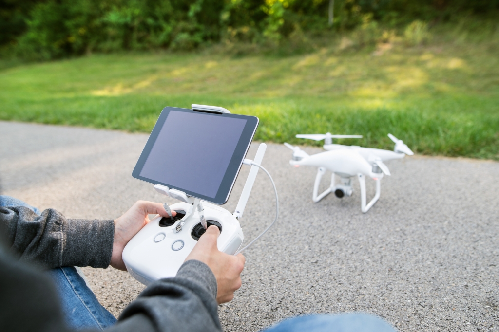
Nearly all drones have a Ground Station Controller (GSC) or a smartphone app, allowing you to fly the drone and to keep track of the current flight telemetry. Telemetry data showing on the remote controller many include UAV range, height, speed, GNSS strength, remaining battery power and warnings.
Many UAV drone ground controllers use FPV (First Person View), which transmit the video from the drone to the controller or mobile device.
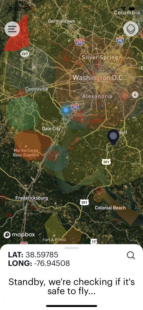
No Fly Zone Drone Technology
In order to increase flight safety and prevent accidents in restricted areas, the latest drones from DJI and other manufacturers include a “No Fly Zone” feature.
The no fly zones are regulated and categorized by the Federal Aviation Authority (FAA). Manufacturers can change the no fly zone drone technology using UAV firmware updates.
GPS Ready To Fly Mode Drone Technology
When the compass is calibrated, it then seeks the location of GPS satellites. When more than 6 are found, it allows the drone to fly in “Ready To Fly” Mode.
Internal Compass & Failsafe Function
Allows the UAV drone and remote control system to know exactly its flight location. A home point can be set and this is the location the drone will return to, if the drone and the remote control system stop connecting. This is also known as “fail-safe function”.
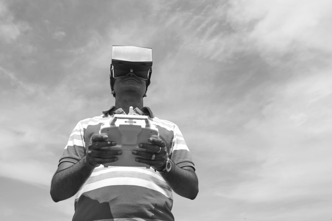
FPV Live Video Transmission Drone Technology
FPV means “First Person View”. A video camera is mounted on the unmanned aerial vehicle and this camera broadcasts the live video to the pilot on the ground. The ground pilot is flying the aircraft as if they were on-board the aircraft instead of looking at the aircraft from the pilot’s actual ground position.
FPV allows the unmanned aircraft to fly much higher and further than you can from looking at the aircraft from the ground. First Person View allows for more precise flying especially around obstacles.
FPV allows unmanned aerial vehicles to fly very easily indoors, or through forests and around buildings.
The exceptionally fast growth and development of the drone racing league would not be possible without FPV live video transmission technology.
This FPV technology uses radio signal to transmit and receive the live video.
The drone has a multi-band wireless FPV transmitter built in along with an antenna. Depending on the drone, the receiver of the live video signals can be either the remote control unit, a computer, tablet or smartphone device.
This live video feed is related to the strength of the signal between the ground control on the drone.
The DJI Mavic 2 has an FPV live video range of 5 miles (8 km) with a 1080p quality video transmission.
Other, slightly older UAV drones such as the DJI Mavic and Phantom 4 Pro, can transmit live video up to 4.3 miles (7 km). The Phantom 4 Pro and Inspire 2 use the latest DJI Lightbridge 2 transmission system.
Drones such as the DJI Mavic use integrated controllers and intelligent algorithms to set a new standard for wireless high definition image transmission by lowering latency and increasing maximum range and reliability.
Live video and maximizing the range of the transmission is fascinating drone technology. Here is a tremendous article entitled “Understanding FPV Live Video Transmission“.
FPV Over 4G / LTE Networks
In 2016, a new live video, which transmits over the 4G / LTE network, providing an unlimited range and low latency video was announced. This drone technology was released on the Sky Drone FPV 2 and comprises of a camera module, a data module and a 4G / LTE modem.
Firmware And Flight Assistant Port
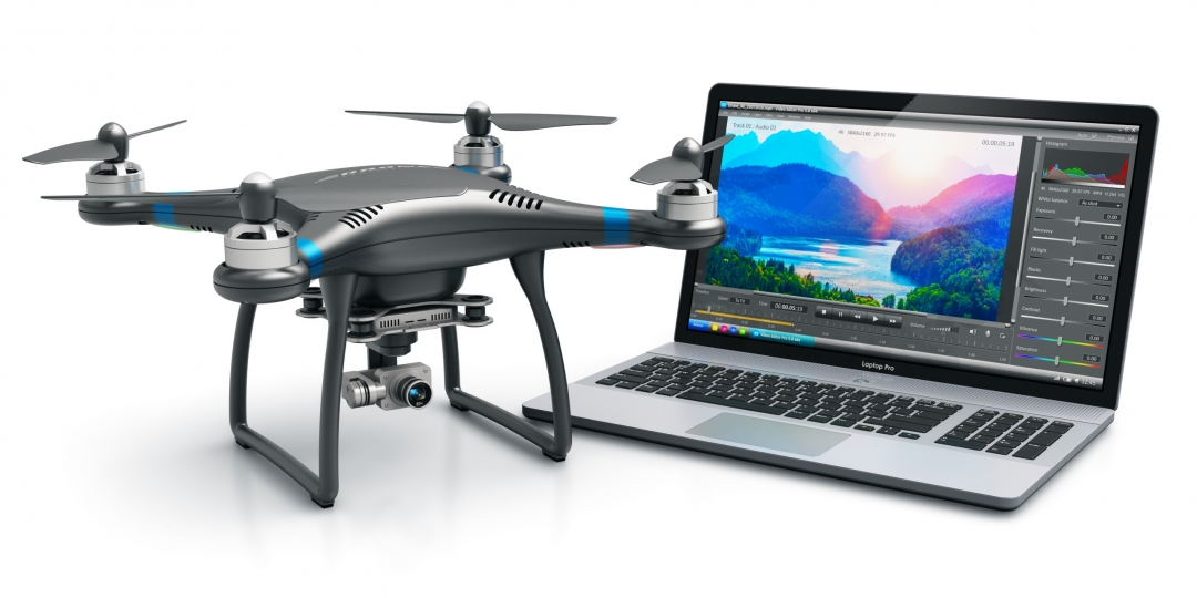
The flight control system communicates with a PC Assistant through a micro-USB cable. This allows configuration of the UAV and to upgrade the drone firmware.
A very simple description of a UAV drone is that it is a flying computer with a camera or sensor attached. Like computers, drones have firmware software, which send commands to the physical components in the aircraft or remote controller.
Drone manufacturers release firmware upgrades to fix bugs and add new features to the aircraft, remote control unit or software if it is used to fly the drone.
LED Flight Indicators
These are found at the front and the rear of the drone. Generally, drone LEDs will be green, yellow or red.
The front LED indicators light up to indicate the nose of the UAV.
The rear LEDs flight indicators light up to indicate the various status of the drone when power on, getting a firmware upgrade and flying.
It is a good to understand what the flashing LEDs on your quadcopter indicate.
All drones come with a user manual, which list what each type of flashing LED mean.
UAV Remote Control System
On the DJI Phantom(s), this is the wireless communication device using the 5.8 GHz frequency band. Remote controls systems are also known as ground control. The drone and the ground control should already be paired when it leaves the factory.
UAV Remote Control Receiver
The location of the 5.8 GHz receiver technology link button is under the UAV. Almost, all the latest drones can use 2.4 or 5.8 GHz operating frequencies.
Range Extender UAV Technology
This is a wireless communication device which generally operate within the 2.4 GHz frequency. It is used to extend the range of communication between the smartphone or tablet and the drone in an open unobstructed area.
Transmission distance can reach up to 2300 Feet. Each range extender has a unique MAC address and network name (SSID).
The latest DJI drones out of the box can fly with a range of up to 5 miles (8 km).
Older drones from the other top manufacturers can’t fly as far as DJI drones. However, products such as range extenders are very popular, which can push the distance even further.
Smartphone App Featuring Ground Station Function
Most of the UAV drones today can be flown by a remote controller or from a smartphone app, which can be downloaded from Google Play or the Apple Store. The app allows for full control of the drone.
Each manufacturer will have their own app such as the Go 4 app from DJI.
Drones With High Performance Camera
The latest drones from DJI, Walkera, Yuneec and other manufacturers now include cameras, which can shoot film in 4k video and can take 12 megapixel stills.
The earlier drones used cameras, which were not fully suitable for aerial filming. These aerial shots had barrel distortion because of the wide angle lens.
However, the latest 4k video drones such as DJI Mavic series, DJI Inspire 1, Phantom 3 Professional and Phantom 4 have a camera which is specifically designed for aerial filming and photography.
The best drone for professional aerial filming is the DJI Inspire 2 mounted with the DJI Zenmuse X7 camera. The Inspire 2 image processing system CineCore 2.1, records video at up to 6k in CinemaDNG/RAW and 5.2k in Apple ProRes when used with the Zenmuse X7 camera.
The Inspire 2 is used by Hollywood producers. In fact, the Inspire 2 filmed all aerial and ground shots in a short film called The Circle with cinematic quality.
Drones With Zoom Cameras
In the past few years, a number of integrated gimbals with optical and digital zoom came to the market.
DJI released the Zenmuse Z3, which is an integrated aerial zoom camera and is optimized for still photography. The Zenmuse Z3, which had a 7 x zoom made up of 3.5 x optical and 2x digital lossless zoom creating a 22 to 77 mm equivalent focal length range, making it ideal for industrial applications.
DJI later released the Zenmuse Z30 camera. This powerful Zenmuse Z30 is an integrated aerial zoom camera has a 30 x optical and 6 x digital zoom for a total magnification up to 180 x.
This allows for more industrial uses such as inspecting cell towers or wind turbines to get a very detailed look at structures, wires, modules and components to detect damage. The Zenmuse is compatible with DJI Matrice range of drones.
The Walkera Voyager 4 comes with an incredible 18 x zoom camera. The 18 times optical zoom camera on the Voyager 4 has unobstructed 360 degree filming. It can film in 4k at 30 frames per second. The high definition image transmission system uses a 3-axis brushless stabilization gimbal technology.
Walkera have also released their latest Voyager 5. This has an incredible 30x optical zoom camera.
The Voyager 5 includes redundancy systems such as dual GPS, dual gyroscope and 3 battery systems. It also has optional thermal infrared and low light night vision camera.
Gimbals & Tilt Control
Gimbal technology is vital to capture quality aerial photos, film or 3D imagery.
The gimbal allows the camera to tilt while in flight, creating unique angles. More importantly, the gimbal reduces camera vibration. These are mostly 3 axis stabilized gimbals with 2 working modes. Non-FPV mode and FPV mode.
Practically all the latest drones have integrated gimbals and cameras. The leader in aerial gimbal technology is DJI with their Zenmuse range.
Drones With Sensors To Create 3D Maps And Models Using Sensor Fusion
Lidar, Multispectral and Photogrammetry sensors are being used to build 3D models of buildings and landscapes. Low light night vision and Thermal vision sensors are being used on drones to scan buildings and landscapes to assist in agriculture, firefighting, search and rescue.
Drones can carry different sensors with the software combining the data together for better results. This technology is known as sensor fusion and works as follows;
Sensor fusion is software, which intelligently combines data from several different sensors such as a thermal camera and a regular RGB camera sensor for the purpose of improving application or system performance. Combining data from multiple sensors corrects the errors from individual sensors to calculate accurate position and orientation information.
For example, multispectral sensors on drones can create Digital Elevation Maps (DEMS) of land areas to provide precision data on the health of crops, flowers, fauna, shrubs and trees.
For lidar and photogrammetry mapping, the UAV is programmed to fly over an area autonomously, using waypoint navigation. The camera on the drone will take photographs at 0.5 or 1 second intervals. These photos are then stitched together using specialized photogrammetry software to create the 3D images.
DroneDeploy is one of the leaders in the creation of 3D mapping software. Their mobile app and Live Map is being used in various sectors for creating 3D maps and models. They have a specialized solution for the agriculture sector and their software will work with most of the latest drones.
Capturing high resolution images on a stabilized drone is very important. Using top photogrammetry software to process the images into real maps and models is just as important. Some of the top drone mapping software is as follows;
- DroneDeploy 3D Mapping Solutions
- Pix4D Mapper Photogrammetry Software
- AutoDesk ReCap Photogrammetry Software
- Maps Made Easy – Orthophoto and 3D Models
- 3DF Zephyr Photogrammetry Software
- Agisoft PhotoScan Photogrammetry Software
- PrecisionHawk Precision Mapper / Viewer
- Open Drone Map
- ESRI Drone2Map For ArcGIS
You can read a review on the above drone mapping software in this article on best photogrammetry software for 3D maps.
In 2016, drones using Time-of-Flight (ToF) sensors came on the market. ToF sensors, also known as “Flash Lidar” can be used on their own or with RGB and regular lidar sensors to provide various solutions across the sectors.
ToF depth ranging camera sensors can be used for object scanning, indoor navigation, obstacle avoidance, gesture recognition, tracking objects, measure volumes, reactive altimeters, 3D photography, augmented reality games and much more.
Flash lidar Time-of-Flight cameras have a huge advantage over other technologies, as it is able to measure distances to objects within a complete scene in a single shot.
Anti-Drop Kit
Helps to keep the stabilizer and camera connected to the unmanned aircraft.
Video Editing Software
Having an excellent quality video software is essential for post processing. Most of the latest drones can film in Adobe DNG raw, which mean that all the original image information is retained for later processing.
Operating Systems In Drone Technology
Most unmanned aircraft use Linux and a few MS Windows. The Linux Foundation have a project launched in 2014 called the Dronecode project.
The Dronecode Project is an open source, collaborative project which brings together existing and future open source unmanned aerial vehicle projects under a nonprofit structure governed by The Linux Foundation. The result is a common, shared open source platform for Unmanned Aerial Vehicles (UAV).
Drone Security And Hacking
UAV drones in many ways are like flying computers. With an operating system, flight controllers and main boards with programmable code, they can also be hacked into. Drones have been developed to fly around seeking other drones and hacking into the drones wireless network, disconnecting the owner and take over that drone. However, there is some practical ways to protect your drone from hackers.

Latest Top Technology Drones With Camera
DJI have a huge command of the consumer and professional drone market. Here are the latest advanced UAV drones with patented technologies are the following;
- DJI Mavic Air 2 – Latest small sized professional drone. Super HDR photos and video. Incredible APAS obstacle detection and avoidance and Intelligent Flight Modes
- Autel Evo 2 – Latest drone with 3 choices of camera including an 8k, a 6k or a Dual 8k with FLIR thermal camera. In production now and will soon be in dealers
- Skydio 2 – One of the best tracking drones in it’s price range
- DJI Mavic Mini – Best micro drone on the market. Weighs just 249 grams (8.78 ounces) and can film in 2.7k (2720 × 1530 at /25/30p)
- DJI Mavic 2 – Available as a Pro and Zoom model. Both have 4k cameras and include collision avoidance on all sides
- DJI Mavic 2 Enterprise (M2E) – Zoom or Thermal camera models. Includes special accessories such as a beacon, spotlights and loudspeaker. Designed specifically for search and rescue or similar work
- DJI Phantom 4 Pro V2.0 – with “Vision” collision avoidance technology. Multi purpose drone including 4k aerial filming, photography and photogrammetry
- DJI Inspire 2 – Patented design and motors. Multi purpose drone for professional 5k aerial filming, photography, photogrammetry, multispectral and thermal imaging
- Yuneec Typhoon H Pro – uses the patented Intel “Realsense” collision avoidance technology. Great for professional aerial photography and filming
- Walkera Voyager 5 – This latest drone from Walkera is tremendous. Camera options include 30x optical zoom, thermal infrared and also a low light night vision camera
- Walkera Vitus Starlight – latest small sized consumer drone from Walkera featuring collision avoidance sensors and a low light night vision camera
- DJI Matrice 600 – This commercial multirotor is an true aerial cinematography platform with options to mount 7 different Zenmuse cameras
- DJI Matrice 200 Commercial Quadcopter – Redundancy with dual battery, IMU and Satellite navigation systems. You can mount 2 cameras under the quadcopter (e.g thermal and zoom camera). Also, mount a camera on top of Matrice 200, which makes surveying of bridges real easy. The Matrice 200 has 6 directions of collision avoidance using ToF laser, Ultrasonic and Vision sensors
Intelligent Flight Systems
All these latest drones have intelligent flight controllers and modes such as Follow Me, Active Tracking, Waypoints, Return To Home and others. The Phantom 4 Pro from DJI has the most autonomous intelligent flight modes of any drone. The Phantom 4 Pro has the following intelligent flight modes;
- Active Track (Profile, Spotlight, Circle)
- Draw Waypoints
- TapFly
- Terrain Follow Mode
- Tripod Mode
- Gesture Mode
- S-Mode (Sport)
- P-Mode (Position)
- A-Mode (Attitude)
- Beginner Mode
- Course Lock
- Home Lock
- Obstacle Avoidance
Drones For Tracking
One of the most exciting drone technologies is the ability to track subjects (people, vehicles, boats), particularly in the area of outdoor sports such as running, cycling, skiing etc. The latest drones with excellent tracking abilities is the Mavic 2 and also the latest Skydio 2 where it’s tracking is so good that it never loses contact with the subject it is tracking.
These drones uses their vision systems, detection sensors, GNSS systems, flight controllers, central processing and specific software to be able to track their subject with 100 accuracy.
There are many different technologies used to track drones and you can read further on the best follow you drones here along with their tracking systems.
Drone Uses
Drones have so many terrific uses. When you mount a camera or sensor such as LiDAR, Thermal, ToF or Multispectral, then the range of uses for drones keeps expanding. Here is an excellent list of drone uses
- Aerial photography for journalism and film
- Express shipping and delivery
- Gathering information or supplying essentials for disaster management
- Thermal sensor drones for search and rescue operations
- Geographic mapping of inaccessible terrain and locations
- Building safety inspections
- Precision crop monitoring
- Unmanned cargo transport
- Law enforcement and border control surveillance
- Storm tracking and forecasting hurricanes and tornadoes
Over the coming years, drones will transform our cities, revolutionizing how people travel, how goods are delivered and how buildings look and are constructed..