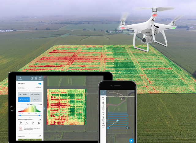
We fly our drones (UAV’s) with a high-resolution camera to collect 20 megapixel aerial photographs for a wide variety of commercial photogrammetry mapping uses. We can measure and map hard to reach areas like, quarries, landfill sites and open cast mines.
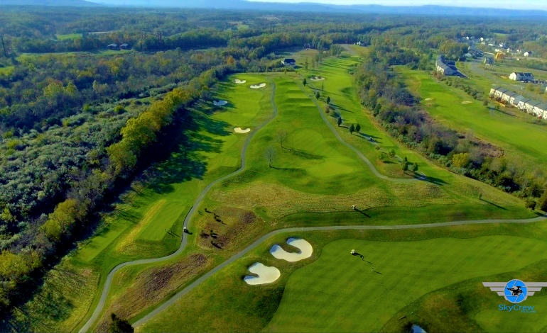
SkyCrew Pictures have filmed and photographed many golf courses. We have used this experience to develop four distinctive types of photography for golf courses.
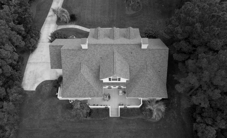
Aerial photos and videos capture the scale of the property, land, gardens and surrounding, not possible with ground-based photography. Our aerial filming using remotely piloted drones gives potential buyers an elevated “birds eye” view that makes your property portfolio stand out from the crowd on websites like Realtor.com, Zillow.com and Redfin.
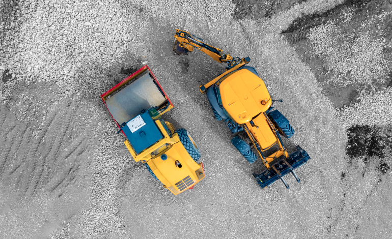
Construction site aerial photography can show every stage of a development from planning, foundations, building topping out through to completion. There is no better way of getting an overview progression of a construction site that by using aerial pictures.
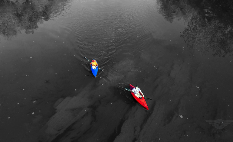
We know that aerial corporate video content can be a key component of any business digital marketing strategy. A short one – two minute video gives the viewer an understanding of your business and an awareness of your products and services. It is vital to grab the attention of viewers in the first 5-10 seconds of any video with stunning visual images.
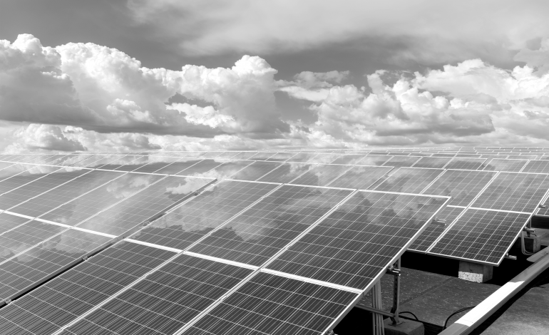
We offer our clients a cost-effective, high-quality solution that eliminates the risk of working at height associated with traditional means of survey access. Our roof and chimney inspections produce high quality safe results, …

